Beyond Birdsville
Outback Queensland's remote west -
Travel info for the Eyre Developmental Road
So you ask me "What is beyond Birdsville?" - Good question!
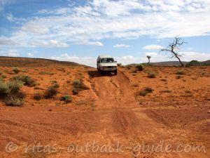
The channel country in Queensland's south-west is "black stump" country. Forlorn places, shimmering mirages, exactly what we expect the Australian Outback looks like.
From Birdsville there are a few options to continue your journey, but first I'd like to answer your next question "what does black stump mean"?
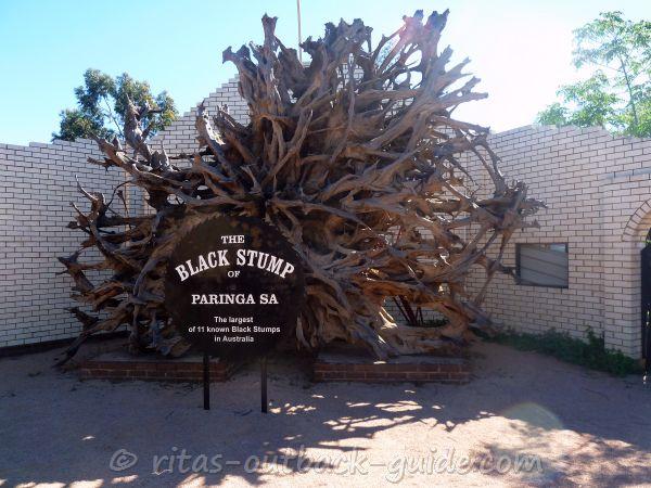 The Black Stump in Paringa, South Australia
Okay, the black stump is an imaginary point after which the
country is considered very isolated, remote, empty. There are many towns
in Australia that claim to have the original black stump. But believe
me, the black stump is rather in people's mind than a signpost of any
kind.
Wherever you came from, whatever direction you go from Birdsville, I
promise you there is more great Outback scenery and loneliness.
Where to go beyond Birdsville?
Leaving Birdsville you have several choices to go to.
- The eastern option from Birdsville is along the Birdsville Developmental Road to Windorah, the heart of the channel country.
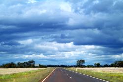
It is a lonely 460 km drive with no facilities along the way. Low jump-ups, shimmering mirages and stony plains as far as you can see. Hey, that's the Australian Outback.
Betoota was once the only tiny town on this route, however, the last hotel and fuel spot closed down in 1997. Then the former publican was the only resident in Betoota, until he passed away many years later.
Famous events are the Betoota races at the end of August and the Horse and Motorbike Gymkhana on the first weekend of the Easter school holidays.
There is a camping spot and a public toilet behind the hotel.
Deon's lookout offers stunning views, an overnight rest area and a public toilet.
Here is more info about conditions along the Birdsville Developmental Road. - If you are into a very challenging adventure, you can go west and cross the famous Simpson desert
into Outback South Australia. The QAA Line leads to Poeppel corner
where you can choose to step further into the Simpson, or go south and
join the Birdsville track.
This is only for very experienced and well-equipped 4x4 adventurers. - The third choice is to head north along the Eyre Developmental Road
to Bedourie, and further to Mt. Isa along the Diamantina Developmental Road.
- And of course, there is the Birdsville Track, the route to the south.
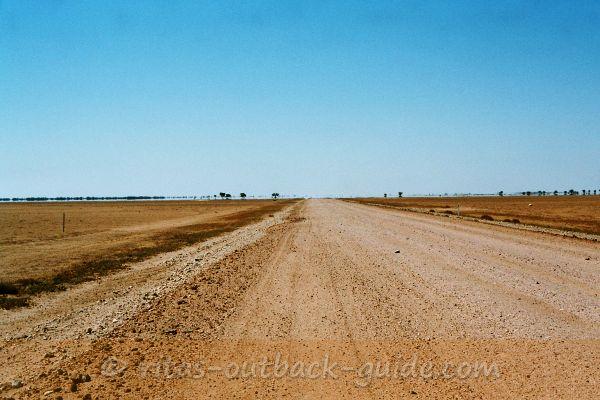 The Eyre Developmental Road to Bedourie is very lonely
Birdsville to Bedourie - Eyre Developmental Road - 188 km
It is been a while since I drove the route that is also known as the Bilby Way. At that time I
thought road conditions were even worse than on the Birdsville track. At
least it was much lonelier.
However, roads in the Outback improve
constantly. Now only about 70 km of road remain unsealed, and the dirt
sections are usually in good condition.
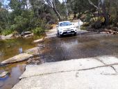
Only in rare events, when Eyre Creek is in flood and the Cuttaburra crossing is closed, you need to take the Lake Machattie detour. Be prepared, the detour might be a bit challenging.
- Click here to download the latest road report from the Diamantina Shire's website.
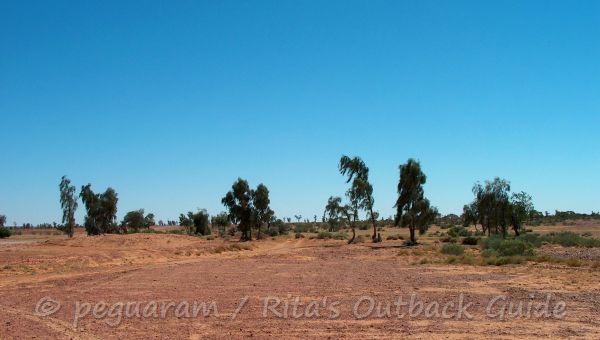 The rare Waddi Trees
A few kilometres out of Birdsville is a very rare stand of ancient trees. These Waddi Trees
only occur in a few places in the world. You can see Waddi trees here
in western Queensland, around Alice Springs and in South Africa.
Listen to the eerie noise of the wind howling through these ancient trees.
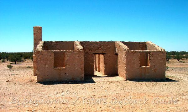
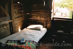
Next, the ruins of the abandoned Carcory Homestead are worth a stop. It is a protected heritage site, and a good example of the type of homesteads built by the early settlers.
The above ruins are a good example of the kind of homesteads built by early settlers in Australia's remote regions. Very optimistic settlers started a pastoral venture in 1877, however, Carcory homestead was already abandoned in 1906.
The ruins are protected by federal and state heritage legislation, so please, leave them as you find them.
(Info from a sign at the homestead)
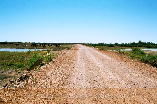 Cuttaburra Crossing
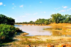
Cuttaburra crossing further north is a permanent waterhole and wetland area of Eyre Creek. It is a welcome change in the scenery, I really liked it here. If Eyre Creek is in flood, you need to take the Lake Machattie detour, a very remote track.
The fascination of Outback Australia is the ever-changing scenery. One
moment you traverse a barren spot that makes you think it is the end of
the world...
... while the next moment you cross a creek, lined with bushes and trees, and you are in a different world.
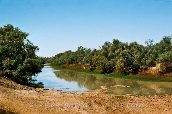 Different scenery at King Creek
Bedourie - Population 122
Bedourie, another small bush town with true Outback character. It is the administrative centre of the huge Diamantina Shire, located on the Georgina River.
The town's name means dust storm, and there are quite a few sand dunes around that can produce dust.
Things to see include the Mud Hut, one of the first buildings, and the Royal Hotel that opened in 1886.
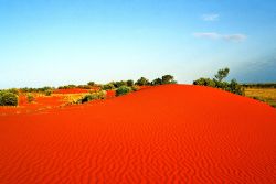
The sand dunes surrounding Bedourie are very photogenic, especially in
the late afternoon. Climb on top of a dune and enjoy an unique sunset.
The silence is only broken by the howling wind and the sound of the
birds.
Bedourie's artesian water supply is of good quality, it even feeds the
pool and spa of the swimming complex. After a hot day on the dusty
tracks this is just heaven, don't you agree?
Bedourie offers everything a traveller needs. For accommodation, other facilities and contact details, check the Queensland travel tips page.
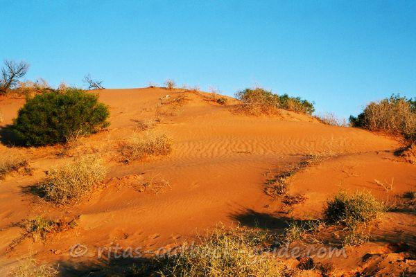 Bedourie dunes in the afternoon
Don't miss these places in the Far West &
Channel Country of Queensland
Below you'll find more useful articles to help you plan your journey.
- Home ›
- Birdsville Track Main Page ›
- Where to go beyond Birdsville
- Home ›
- Outback Queensland Overview ›
- What is beyond Birdsville
