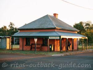
Birdsville Track
History, Facts & Track Updates
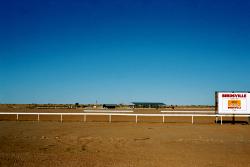
The Birdsville Track is an icon among Australian Outback routes.
Driving this 517 km dirt road from Marree to Birdsville, or the other way,
leads you to remote, harsh Outback country. A trip for adventurers!
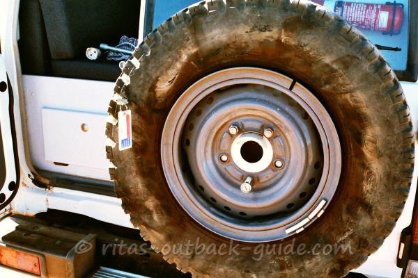
That's what the Birdsville Track can do to your car...
... or at least to a tyre that's not in the best condition!
It was a hot day, so no fun to replace it on an uneven track.
However, I don't want to blame the conditions alone. Someone scratched the car, and obviously the tyre as well, in a car park a few days before. That was perhaps the reason that the tyre blew off.
You see, it is important to go on the rough Outback tracks with good tyres!
Fortunately, we could replace the damaged thing in Mungeranie.
Birdsville Track - Quick Facts
Length of track: 517 km from Marree to Birdsville
Location: North-east of South Australia into south-west Queensland
Distances from major cities: Marree at the southern end of the road is 650 km north of Adelaide, Birdsville marks the northern end, the town is 1585 km west of Brisbane, or 1167 km north of Adelaide. Both towns offer major facilities for travellers.
Facilities along the track:
Accommodation, fuel, basic supplies are available at the Mungeranie Roadhouse, and in the towns at the start and end of the route. Click here to read more about facilities.
Permits: No permits required
Road conditions:
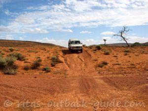
A stony track covered with large pebbles
(gibbers), few dune crossings which don't cause problems. It is
essential to drive to conditions. A 4WD is recommended, and much more convenient than a 2WD,
managing the rough ride. Please note that most car hire companies won't allow you to drive a conventional vehicle on routes like this.
Read more about conditions further down on this page.
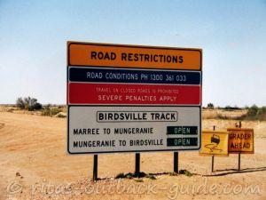
Before you go, check the current road closures and conditions at Outback Roads South Australia, or call Ph: 1300 361 033
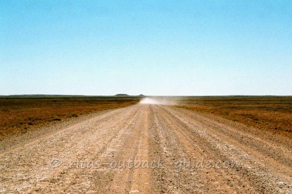 When you see a dust cloud, there is a car approaching, or in front of you.
Slow down!
Despite the extreme dry and harsh environment, the land along the Birdsville Track is
considered good cattle country. Once the rare rain and floods from the
north inundate the region, you'll see an amazing transformation of the
sunburnt, desolate landscape. Water from the Artesian basin helps that
cattle can survive during the drought periods.
The Birdsville Track is surrounded by Australian deserts. The Tiari and
Sturt's Stony Desert line the southern and central part,
the Strzelecki and Simpson Desert surround the track in the north.
Is it boring? No! Although there are many featureless stretches, old ruins, creek
beds (usually dry) and sand dunes provide changes along the way.
Once you leave Marree for the northbound journey, or Birdsville for the
southern route, there is only the Mungeranie Roadhouse about halfway
that provides provisions like fuel, meals & drinks for travellers.
Join me on a fantastic journey. Read about the history, highlights, track conditions and get facts about the Cooper Creek ferry.
Looking back...
The Birdsville Track was established in the 1860s. It once was the main stock route
to bring cattle from central Queensland to the railway in Marree. In
these days, the trail had a grim reputation, many people and mobs of
cattle lost their lives.
Due to the lack of surface water the Australian government sank artesian
bores along the way. This made it possible for men and beasts to
survive the distances in this remote country.
Crossing the Natterannie sandhills was a challenging task for cars in
the early days. The dunes are clay-capped today, and don't cause
problems any more.
For the first motorists the Birdsville Track was an adventure that could take a
couple of days or weeks. Tom Kruse, the most famous of the mail men, did the mail run from 1936 to 1957. He had to fight many battles with the harsh conditions in these
days.
The Birdsville Track is rich in history and tragedy. Unlike the
Oodnadatta Track you need to know what to look for to notice the relics
of the days gone by.
The Birdsville Track today...
Reader's Tip:
Hi, we have just done the Birdsville Track with no probs of our own, but
all the rest of our group had problems.
I recommend taking u-bolts
d-shackles, regular nuts and bolts, also putting cardboard across the
back window (4wheeldrives) and across the gas bottles on your van. We did
ours and were fine but saw where the massive rocks had been, others
that had not done this resulted in broken windows.
It was a great trip
but you certainly need to take care at all times, we loved it.
Look at this map of the Birdsville Track - it opens a new window for your convenient reading and planning.
-
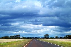
The modern track is a wide stony, gravel road that lost the horrors of
the early days. Nonetheless, the route crosses dry & desolate
country, and it is very remote.
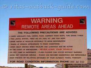
- Travellers should be well prepared, carry sufficient water, a
spare tyre & everything essential for driving in the Outback. Read my driving tips here.
- Avoid
to travel in summer, it gets too hot. You won't meet too many fellow travellers, and probably have to wait a while until help arrives when you break down.
- After rain, the road will become impassable quickly, so watch out for the weather forecast before you go.
- The piles of stones and gibber pay toll to your tyres, punctures happen as well as accidents. Drive slowly and stay safe.
- Watch out for cattle roaming on the track! This is cattle country, after all.
- As always, road conditions vary depending on the weather, amount of
recent traffic, and when the grader went through for the last time.
Actually, I found conditions on the Birdsville Track rougher compared with the Oodnadatta Track.
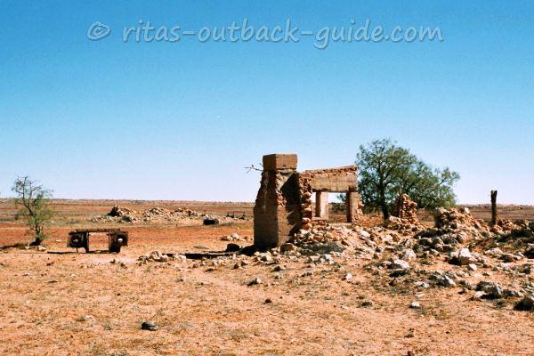 Mulka ruins
The highlights along the Birdsville Track
- Lake Harry ruins - More than 100 years ago, after a bore had been drilled, a date palm plantation was established here. This is not a joke! Although the date trees grew successfully, up to 2000 date palms stood there in the 1930s, the project failed due to the lack of bees to pollinate the trees. The Outback has reclaimed its land and only the ruins remind of these days.
- The dingo fence meanders 5400 kilometres from the cliffs of the Great Australian Bight throughout Outback South Australia and NSW to the coast north of Brisbane.
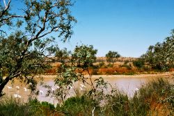
- Cannuwaukaninna Bore - this is the most accessible bore, only a few metres off the track. Be careful, the artesian water pours out at near-boiling point. It's a good picnic spot, and the small wetland attracts many birds. Take your time, sit down and watch the amazing bird life.
- In 1926, Betty Broadbent, an English nurse, fell in love with the country, and decided to live by Cannuwaukaninna Bore running a little store on her own. What a tough woman!
- Cooper creek - crossing the 5 km wide sandy creek bed is no problem if it's dry. Scrubs and low trees indicate the Cooper's channels, and make a difference to the surrounding country. There is a detour to a ferry on Etadunna property, check if the Cooper is in flood before you start your journey.
- Mulka ruins - not much is left of the former station homestead and store.
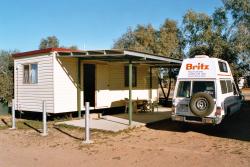
- Mungeranie Gap and roadhouse - the gap is the highest point on the track (150m) and a scenic highlight. The roadhouse is a highlight for all who long for a cold beer and a dip in the nearby wetlands. It is a lovely place to stay a day, or two.
- Koonchera sand hill - the largest dune on the Diamantina floodplain
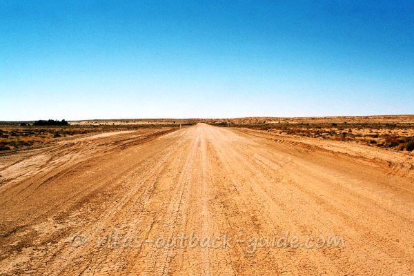 Near Pandie Pandie station
About 200 km before you arrive in Birdsville, the newer "outside track"
begins. The turnoff is near Clifton Hills station. This part of the road
was built in the 1960s to detour Goyder Lagoon and the flood
plains of the Diamantina river. It is highly recommended to use the new
outside track as the old route is not maintained frequently, and often
closed anyway.
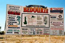
When you finally arrive in Birdsville, the tiny town at the end of the route, you are still in the middle of nowhere, but there is so much to
explore!
Now you are in the south-western most part of Queensland, a great chance
to discover another beautiful region of Outback Australia. I am sure
you'll enjoy your travels in this remote area as much as I did.
Birdsville Track - Cooper Creek Ferry
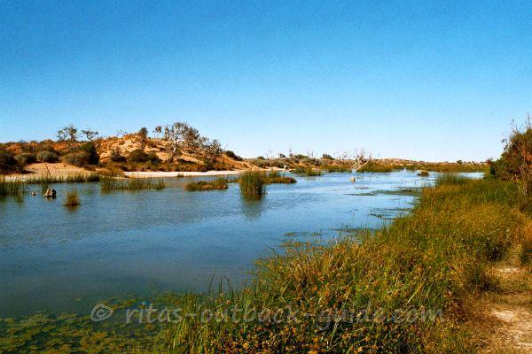
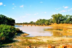
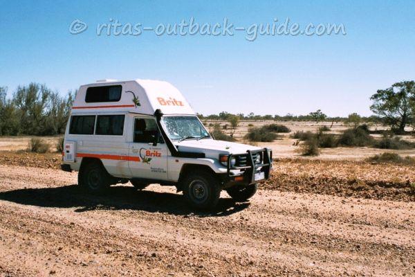 Crossing the wide bed of Cooper Creek which is usually dry
It is a rare event when the Cooper Creek floods the Birdsville Track and
motorists have to take the detour via Etadunna Station to use the ferry.
After 20 years this
rare event happened twice in subsequent years, 2010 & 2011.
Signs at the beginning on either end of the road announce if you need to take the
ferry, which is a special attraction for many Outback travellers.
Of course, you can always check here as I am going to update this page when there are changes.
June 2010 - Cooper Creek cut off the Birdsville Track. After heavy rains earlier this year in south west Queensland the Cooper reached the track on 1st June. The punt service over the Cooper started its service on 8th June.
January 2011 - The ferry doesn't operate any more, you can cross the bed of the Cooper on the main route.
June 2011 - The Cooper Creek flood-way on the Birdsville
Track is closed to all vehicles. The ferry re-commenced operations on
22nd June 2011.
January 2012 - The Cooper Crossing on the track is open again. The operation of the ferry is discontinued.
If you happen to be out there to watch this rare event, please
sent us a photo and your story. Last time the Cooper flooded the track was
in 1990, so it is really something special.
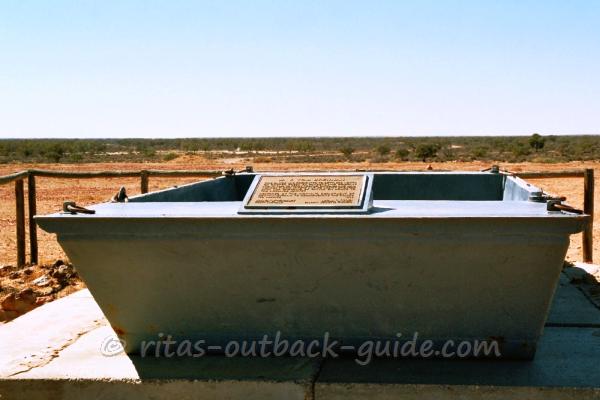 M. V. Tom Brennan - the old barge can be seen along the track
The Tom Brennan was used to ferry people and supplies across the flooded Cooper Creek.
2019 Birdsville flood
Devastating rains and floods in Queensland's north and central west earlier this year (2019) have killed about 500,000 animals. This flood water is now moving south through parts of the channel country, feeding mostly rivers and creeks in the Diamantina River catchment.
Station owners in the south-western
part of Queensland are happy that the flood gives the land the much
needed moisture back, after 7 years of drought. Late February, Birdsville looked like a small island in a huge sea. Naturally, all roads leading into town were closed for several weeks.
At the time of writing, the track is closed between Mungeranie and Birdsville. Check road conditions here.
Update end of May 2019 - Finally, the Birdsville track is open for 4WD vehicles, but no towing. The inside track remains closed due to flooding.
As conditions change often, please always check before you go.
Discover other places in the Birdsville region
- Home ›
- Birdsville Track
