Birdsville Track Photos
A photo journey along the famous track
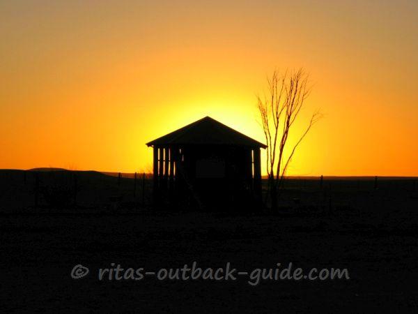
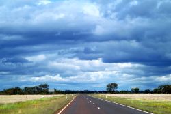
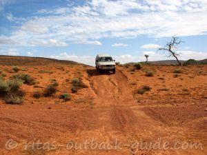
Join me on an amazing Outback journey - these Birdsville Track photos where taken during my trip along the track a few years ago. I hope you enjoy these pictures of stunning Outback scenery & they make you want to travel along the iconic track.
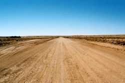
It is hard to capture the thrill of driving this great Outback road on a few pictures, but I am sure you will get the idea. The attractions are listed northbound, from Marree to Birdsville.
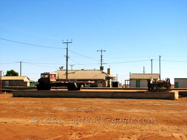 Historic Marree: Tom Kruse's famous truck & the railway station building
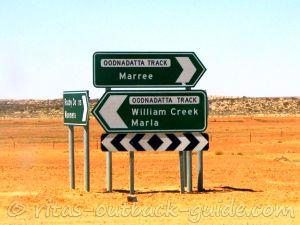
The tiny township Marree is the starting point of both the Birdsville
and the Oodnadatta Track. The town itself is worth a visit with lots of
history to discover.
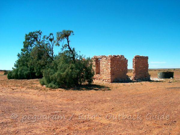 Lake Harry
The Lake Harry ruin is the stunning reminder of a former date palm
plantation. Hard to believe that someone even tried to grow palm trees
out there. I am not sure if this is the truth, but I read somewhere that
the trees did well, only the lack of bees to pollinate them made the
project a failure.
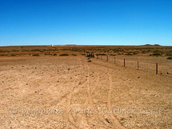 The famous dog fence
The dog fence, or dingo fence, is approx. 5400 km kilometres long and
was built to protect sheep from the native dingoes. So you will find
cattle country on one side of the fence, and sheep country on the other.
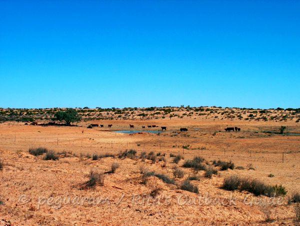 Cattle at a waterhole
Believe it or not, the harsh land along the Birdsville Track is considered to be good cattle country.
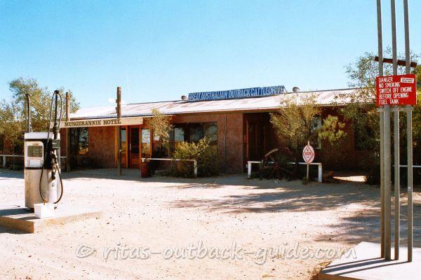 The pub and a fuel pump at Mungeranie Hotel
Mungeranie Hotel is the only place along the Birdsville Track to get a
cold beer, a nice meal, and a hot shower. They also offer fuel, spare
tyres and minor repairs for your car.You can camp near the wetland, or have a basic room.
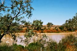
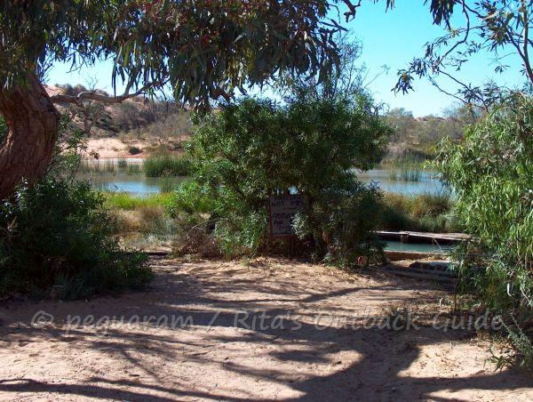 Mungeranie wetland - a true oasis for birds and humans
The Mungeranie wetland just behind the hotel is a true oasis. A
flowing bore created the billabong called Derwent river. Shady trees,
and even a spa let you forget the dust and stones of the track.
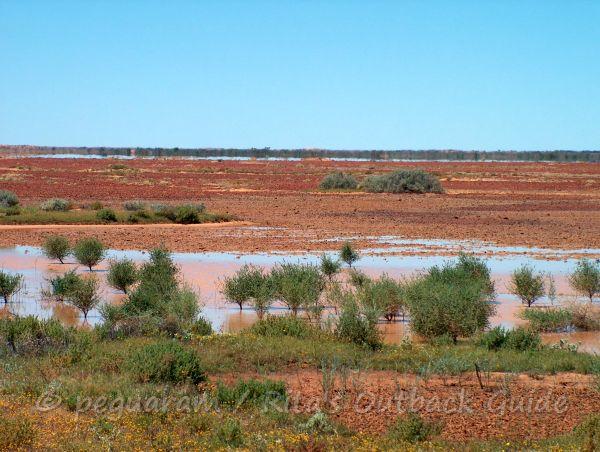 Sturt Stony Desert
Sturt Stony Desert is one of the smaller deserts in Australia. Red
gibber (pebbles) plains covered with meagre saltbush as far as you can
see. After rain you'll see some grass and scrubs. It's then when the
land along the Birdsville Track is called the best cattle country in
Australia.
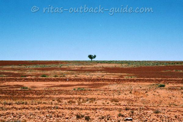 Sturt Stony Desert
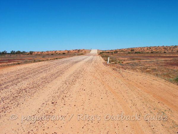 Typical low sand dunes along the Birdsville Track.
On the old Birdsville Track, the low sand dunes crossing the track were a hazard for drivers. This photo was taken north of Mungeranie, while the dunes further to the south are also known as Natteranie sandhills.
These days the dunes a clay-capped and easier to cross, as long as the road is dry.
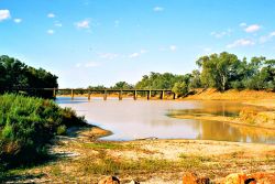
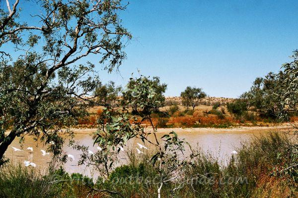 Moongarra Channel
Moongarra Channel - What a difference water makes! This is a perfect
place for bird-watching. Yes, we're still on the Birdsville Track but
this is truly a different sight.
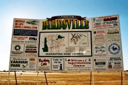
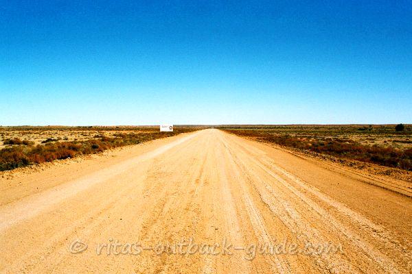 Approaching Birdsville
Would you believe that the road sign offers a cool drink? Now you know
Birdsville is coming closer. As far as I remember it was only 30 km to
go.
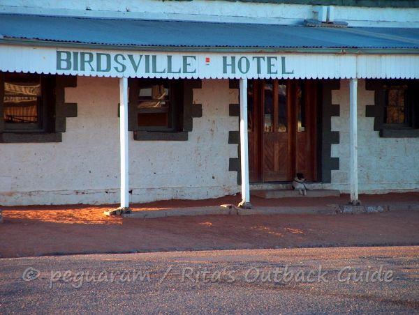 Birdsville Hotel - one of the most famous pubs in the Outback
After 517km of amazing scenery and perhaps some boring stretches you reach the end of the track but not the end of your adventure. It is a long way from here to anywhere!
Do you want to learn about the history and stories of the Birdsville Track? Jackie Stallard's video guide introduces you to all sights along the way. Jackie has lived for seven years in Birdsville, travelled the track back and forth, and compiled heaps of stories and information in her audio guide.
Discover other places in the Birdsville region
- Home ›
- Birdsville Track ›
- Photos of the track
